This list shows just a small selection of books that cover GIS analysis, from introductory topics to more advanced theories. There are lots more on the Esri Press website, which can be searched using "analysis" to find Esri books about using ArcGIS for analysis. Other GIS analysis books can be found on your favorite bookseller sites using a search query like "Spatial Analysis".
You can also check out Esri's GIS Bibliography, a searchable database containing 130,000 (and counting) references to books, conference proceedings, journals, magazines, and articles.
- Harder C, Ormsby
T, Balstrøm
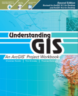
T 2011 Understanding GIS: An ArcGIS Project Workbook
This is an introductory workbook which also includes access to a ninety-day software trial to perform the analysis. This book looks at solving a spatial problem and taking the role of a GIS analyst challenged with finding the best location for a new park along the Los Angeles River in Southern California
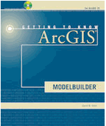
- Allen D.W. 2011 Getting to Know ArcGIS ModelBuilder
This book introduces the idea of modelbuilder in ArcGIS and using examples, mainly from a municipal environment, shows how tasks can be achieved with modelbuilder components. The book uses many diagrams and screenshots for ease of understanding. A few more advanced techniques are also touched upon.
Mitchell A 2001 The ESRI Guide to GIS Analysis, Volume 1: Geographic Patterns and Relationships
This is a good introductory book to using GIS for analysis. It covers a number of different simple spatial techniques with examples from a breadth of different application areas.
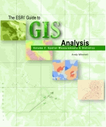
Mitchell A 2001 The ESRI Guide to GIS Analysis, Volume 2: Spatial Measurements and Statistics
This book provides an accessible introduction to spatial statistics in ArcGIS. A number of examples are included along with explanations of how the methods can be used to answer questions.
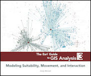
Mitchell A 2012 The Esri Guide to GIS Analysis, Volume 3: Modeling Suitability, Movement, and Interaction
Covers advanced spatial analysis topics of spatial interaction, site selection, routing, and scheduling for the practicing geographer.
Burrough P. A., McDonnell R 1998 Principles of geographical information systems Oxford University Press
This book describes key concepts of working with spatial data and GIS. A number of key geographical theories are clearly explained and examples from different disciplines are shown throughout.
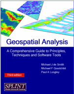
de Smith M, Longley P, Goodchild M http://www.spatialanalysisonline.com
This is a free web-based GIS resource with the full text of "Geospatial Analysis - A comprehensive guide" being provided on this website (Winchelsea Press 2006-2011). This is a great resource for anyone interested in spatial analysis, covering a wide number of principles, techniques, and software tools for spatial analysis.
Fotheringham A.S., Rogerson P.A.(Eds) 2009 The Sage Handbook of Spatial Analysis
A more advanced textbook covers a variety of spatial analytical techniques over a wide range of disciplines. Each chapter covers the state of the art, current theories and techniques and future challenges.
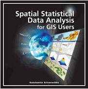
Krivoruchko K 2011 Spatial Statistical Data Analysis for GIS Users
This is a guide to more advanced concepts and practices of statistical modeling of spatial data. The book covers all aspects involved in statistical modeling of data and includes many detailed case studies and sample data to illustrate the concepts.
- Maguire D, Batty D, Goodchild M (Eds) 2005 GIS, Spatial Analysis, and Modeling
This book is based on a workshop held at Esri, Redlands USA on 'Modeling and GIS'.
It covers many topics from key issues to tools and techniques. Half the book is dedicated to describing applications such as: socio-economic, retail, transport, hydrology, land cover and animal conservation to name but a few. - Keranen
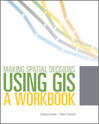
K., Kolvoord
R 2011 Making Spatial Decisions Using GIS: A Workbook
Designed for a college curriculum, this book develops GIS skills using step-by-step instructions, guided activities that reinforce learned concepts, and independent projects that encourage students to find local data and situations.

