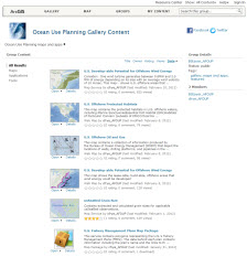
Geospatial Content for the Oceans Community
One of the key benefits of the Oceans community is the collection of rich, shared GIS content that many others can leverage in their own work. Critically important geographic information sets have been assembled and shared by the Oceans community. These maps and datasets power many of the maps and apps used in oceans planning as well as additional applications.
This community provides a catalog of shared content that is published and used by many contributors. These map services are designed to "operationalize" this information, enabling users to put these data to work in a multitude of maps and apps on the web. Each data source encapsulates key capabilities and operational information.
These are openly served using open, standards-based REST methods which enable these information sets to be directly accessible and useable in virtually any web environment and through any web or mobile API.

